Texas Physical Map 1986
$129
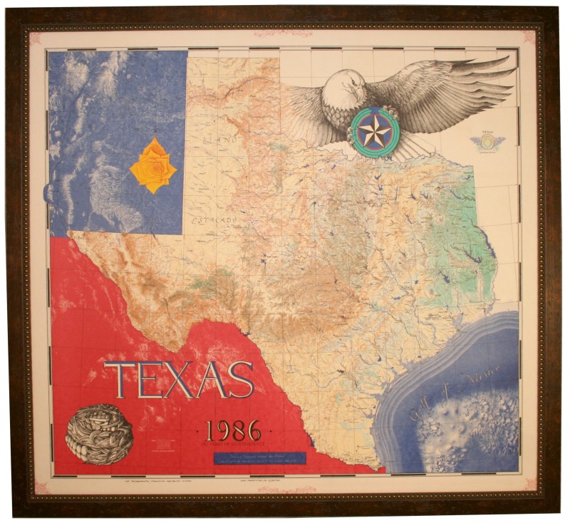
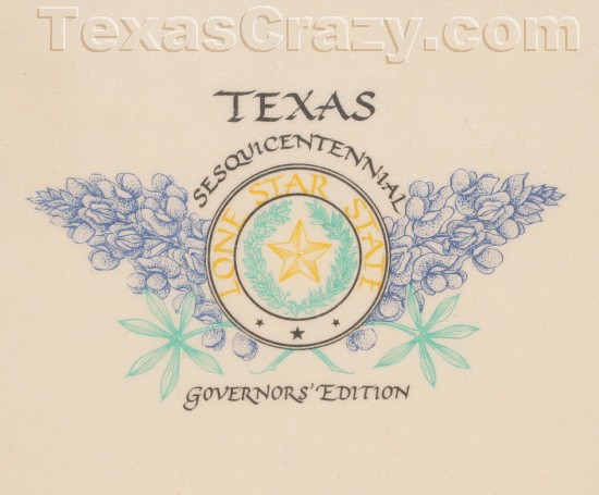
Immerse yourself in the grandeur of the Lone Star State with this breathtaking "Texas Physical Map 1986" – a true masterpiece celebrating 150 years of Texas independence. Commissioned by the Texas Sesquicentennial Press in Austin, this oversize custom texas physical map is a stunning collaboration of four talented artists, each contributing their unique artistry to create a visual feast for the eyes.
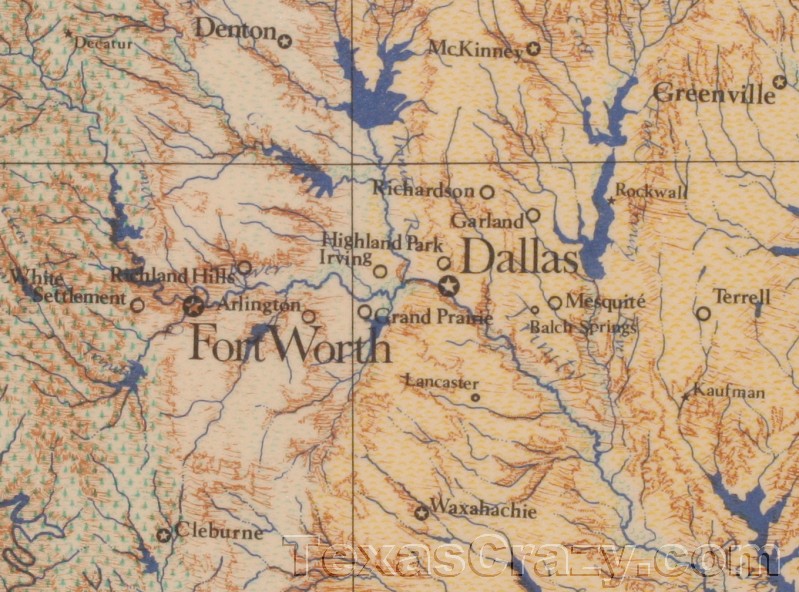
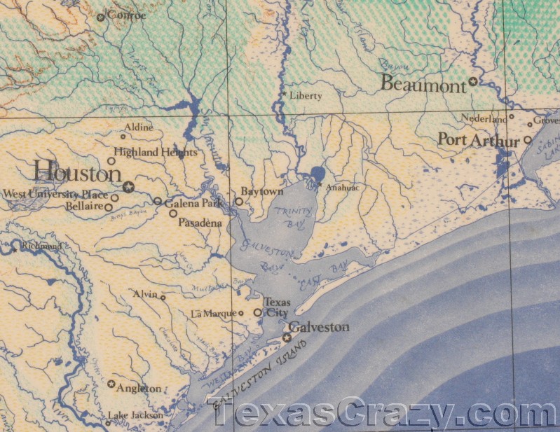
At a staggering 45 inches wide and 41 1/2 inches high, this governor's edition map is printed on sturdy, thick art gallery-grade paper, ensuring its durability and vibrancy for years to come. The intricate details transport you across the diverse landscapes of Texas, from majestic mountains and winding river waterways to verdant forests and the sun-kissed Gulf of Mexico coastline.
Richard Hubbard's masterful cartography forms the foundation of this physical map, meticulously capturing the state's landforms and topography. Philip Trussell's artistry takes flight with the iconic eagle soaring above, while the ancient Quetzalcoatl serpent symbolizes the rich cultural heritage. Sharon Roos' elegant calligraphy graces the map with a touch of elegance, complemented by the vibrant yellow rose – the state flower. Finally, Ed Aiken's airbrush wizardry brings the Gulf of Mexico to life, its azure hues beckoning you to explore the coastal regions.
Whether you're a proud Texan seeking to celebrate your state's rich history or a collector of fine maps, this Texas Physical Map 1986 is a true treasure. Elevate your living space, office, or study with this remarkable piece of art, and let the spirit of Texas inspire and captivate you with every glance.
Please note: We currently offer this paper map unframed, allowing you the flexibility to showcase it according to your personal preferences. The framed image shown is for conceptual purposes only.
| Status | Print only (unframed) available. Please allow 1 week for shipping. |
|---|---|
| Ships | Usually ships FedEx |
| Brand | |
| Made In | Texas USA |
| Volume Pricing | Yes. Add QTY then go to Cart to Determine Savings |
| Item Number | texas-physical-map-1986 |
Excellent quality and timely.
Hi Craig, Thanks again for trusting us with your business! Our [Texas Physical Map](https://www.texascrazy.com/product/texas-physical-map-1986-framed/) is really nice. Regards, Bill


